|
||||||||||
|
Weather or Not
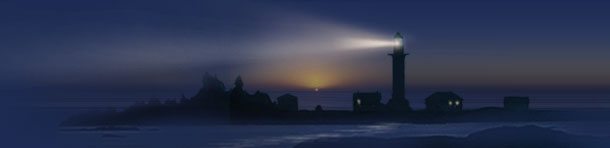
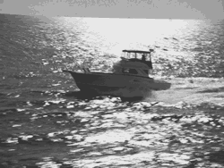
In 1916, in an implausibly happy ending to one of the greatest survival epics of all time - Sir Ernest Henry Shackleton and every member of his crew returned alive from a two-year voyage on which they were ship- wrecked in the Antarctic. Their research vessel, the Endurance, had been trapped in the ice through a southern winter, then was crushed and sunk when the icepack shifted with the thaw. After dragging a lifeboat to open water and gaining a makeshift sanctuary on the Antarctic shore, the group split in two. Shackleton and a crew of five sailed the small craft to the island of South Georgia, a distance of some 800 miles in wind-driven seas that often reached a height of 80 feet. They then returned to the subcontinent in a rescue vessel to retrieve the remainder of the crew. Shortly after receiving heroes' welcome at home, Shackleton and several of that first crew signed up for another journey similar to the odyssey they had just survived. Questioned about their motives, one member observed that he was leaving England because of the climate - which, in his opinion, was the worst in the world. No doubt that story entails more than a little British humor, but it also points up one of the great truisms: we don't all see weather in the same way. And without some agreement about terms and the conditions they represent, one boater's romp can be another's debacle. One of the most enduring attempts to codify a lexicon of maritime weather conditions was Sir Francis Beaufort's 1805 scale establishing a numerical relationship between the speed of the wind and the state of the sea. An English rear admiral, Beaufort devised a rating system numbering from 1 to 12; with variations and adornments it is still used today by most of the world's navies. The United States Navy incorporates the Beaufort Scale in its modern Sea State Chart, although the latter starts at zero and contains two less steps. The next time you hear a reference to sea state in a marine forecast, this should give you a more exact picture of what to expect. Zero on the Navy scale describes a sea state that can range from mirror-like to mildly rippled, without the formation of foam crests; this describes a dead calm or light airs of up to 3 knots. Sea State 1 on the Navy chart ranges from small wavelets with glassy crests up to large wavelets whose crests are just beginning to break, with scattered white horses and winds up to 10 knots - for Beaufort, a "gentle breeze." Sea State 2 features wind speeds to 13.5 knots, waves averaging 1.4', a moderate breeze and frequent white horses. Sea State 3 is winds of 14-16 knots with wave heights averaging 2' - comfort limit for smaller recreational powerboats. Sea State 4 has moderate waves, taking a more pronounced long form, with many white horses and the chance of some spray. What Beaufort describes as a "fresh breeze" has a wind velocity of up to 20 knots - good news for a 19th century ship of the line, but less good for sailboats under 30' and a good outside limit for power. Sea State 5 results from a strong breeze (up to 27 knots) and large waves (up to 20', but half that height on Sea State 1 Conditions average) start forming, many with white foam crests. Sea State 6 is a moderate gale, with wind to 30.5 knots, average waves of 14' (but up to 29'), the sea heaps up, and spindrift combines with froth from the breaking waves. Sea State 7 is Beaufort's "fresh gale," with wind to 40 knots and highest waves of 58'. Blowing spray affects visibility. Sea State 8 combines Beaufort's "strong gale" and "whole gale," with winds ranging from 41 to 55 knots and very high waves (up to 121' with overhanging crests and an average length of 810'.) Great patches of foam blow in dense, parallel, white strips and the entire sea surface is predominantly white. The rolling of the sea is heavy and shock-like. Sea State 9, the top of the Navy's scale, is what happens just after you think things just can't get any worse. Spanning Beaufort's last two categories of "storm" and "hurricane," winds from 56-71 knots form waves of more than 164', ample for hiding even medium-sized ships from sea-level viewing for long intervals. With the driving foam and spray, visibility can drop to nearly zero. In this age of weather satellites,
global positioning systems and the many new technologies of
air-sea search and rescue, Shackleton's ordeal of almost a
century ago may seem like ancient history. But the power of wind
over water remains unchanged. And thanks to Beaufort and his
successors, so does our ability to describe the effects of that
power in a common language. |
|||||||||||||||||||||||||||||||||||||||||||||||||||||||||||||||||||||||
|
|||